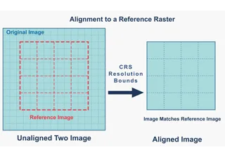
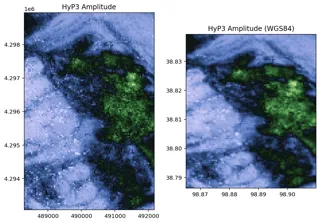
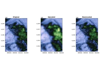
Warping upon loading#
In FanInSAR, datasets can be initialized with specific geospatial properties, and their rasters are automatically warped to uniform properties upon data loading. This feature allows for seamless resampling, reprojection, or alignment to a reference raster by simply specifying the desired coordinate reference system (CRS), resolution, extent, and resampling method during dataset initialization, without the need to consider the geospatial properties of the underlying original raster files.